Monday, December 10, 2012

Moses Tomb Campout

 In mountaineering terminology an "alpine start" refers to getting up early, and being well on your way back down the mountain before the heat of the day.  We did not get an alpine start.

It started out well enough, as the cars rolled out of the Moses Tomb campground before 9:00am.  We headed up I-59 towards South Pittsburg, TN.  We stopped at Shoney's for breakfast, after being told that it was all "Hobbity" in celebration of the new Hobbit movie.  It turns out, Denny's is "Hobbity," an Shoney's is ill prepared to deal with a party of 12 at 9:30 in the morning.

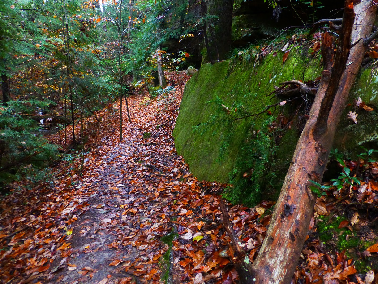
About 2hrs later we rolled on towards Cagle's Chasm, a 186' sink hole near the AL/ TN border.  Driving through the town, you get the picture of a depressed Appalachian community, that one might imagine if they had only ever explored the south through movies.  There is a large factory that has collapsed in on itself, and looks like something out of the bad horror movie about Chernobyl that came out last year. The trail head parking is even next to a kennel that seems to be breeding fighting dogs.

The original plan was to get there early, and rig all three entrances to Cagle's Chasm.  However, as we pulled up, we saw a 15 passenger van from Sewanee's outdoor program.  They had beaten us to the pit, and rigged the main drops for Cagle's and Jeep Side.


We rigged another drop to the main pit and started in.  Dave had brought the Surprise Pit Rope, so we dropped 400'+ rope into the 186' drop.  Dave rappelled in with the rope and fed it out of the bag on the way down.

Sam McRae in the back, University of the South students up front.


The pit is open air, and it was a cool experience to be able to look up and see the clouds passing over. The Sewanee folks were all at the bottom and proceeded to climb and bounce the pit all day long.  When I got down none or our group was to be found.  I climbed through a crack and scrambled down.  By that time I could here voices from the next passage.  The back of the cave opens into large room with a waterfall, and Dave and Randall were back there orchestrating elaborate photos.

Dave, shortly before he become a being of pure light.  Scientology does pay off.

Me, in Cagle's Chasm


We back lit a bat


Tandem Climbing

We climbed back out of the sinkhole, which took us a while, as we had only rigged one of our three ropes.  Jeff kept waiting for everyone to climb out so he could bounce the pit, and eventually resigned his day to laying in a hammock and drinking power aid.  The Sewanee group had three wrap around style rope pads, that they had to remove and replace each time they ascended, which took them forever.  One of them was asking if they could just get one long rope pad and drape it over the edge, and Jeff told them that his longest rope pad is 40'.  The Sewanee group then proceeded to eat pb&j sandwiches and talk about nerd shit.  It made us feel old for no longer being able to relate to college kids.

We returned to Moses Tomb, but not before stopping at the Lodge Cast Iron factory outlet store in South Pittsburg, which was awesome.  I will be returning there to buy Christmas Presents.  We made it back stocked the fire full of wood, and ate chicken.  At 10:30pm we headed up to Moses Tomb to rappel it.  It has a narrow entry way that then opens up into a formation like an underground missile silo.  Two years ago tornadoes came though and trashed the trail, including tearing both the rigging trees in half.  The original tree still had a piton driven into if from back in the day.  The rappel was great, I used Jeff's rack that I had borrowed for Surprise Pit a few weeks ago.  We bottomed the 230' pit, climbed back out, and returned to the fire to find that everyone else had gone to sleep.

Chicken Wings
Moses Tomb


More photos and videos at Spelunkologists

Photos by Dave McRae, Jeff Harrod, Alan Cook, and only one by Me (Brandon Phillips)

Samantha McRae owes me a $1.50, and she knows why.

Tuesday, December 4, 2012

Camp McDowell Photos

Jen and I moved back from Anchorage in October, so that Jen could take a job as Assistant Director at McDowell Environmental Center.  We had both worked here previously for about 2.5 years, but my love for AK took us up North.  Now that we're back, we live on campus, Jen is busy directing, and I am busy bumming around and doing whatever odd jobs I can find.  I have taken some of my plentiful free time to get some photos over the past couple of weeks. 

Camp McDowell is located about an hour North West of Birmingham, and borders the Bankhead National Forest.

Camp McDowell

Some of these photos are a little bit dark, I haven't taken the time to retouch any in photoshop. Enjoy.


Monday, December 3, 2012

Springer Mountain, GA

Saturday morning, Jen, Alli, and I pulled out of our driveway at 6:00am to make the 5.5 hour drive to Springer Mountain, in the Chattahoochee National Forest of Northern Georgia.  Springer Mountain is best known as the southern terminus of the Appalachian Trail.  However, we were headed up to pick up two of our friends who had been thru hiking the Benton Mackaye Trail. 

Our driving directions made no mention of  FS77, and stuck us driving around the Forest Service roads for an additional 45 minutes trying to find the trail head.  If you ever want to drive to Springer, email me, and I will give you accurate directions.  Hiking options are plentiful from the trail head parking lot, where the Benton Mackaye trail and Appalachian Trail cross each other a few times.  This area of the National Forest is also well known for its mountain biking trails.  We settled on a loop trail, following the AT up to Springer's summit, and looping back around on the Benton MacKaye.


From the trail head to the summit is an easy .9 miles, if you follow the AT.  It crosses a spur trail that leads to a shelter, with pre-rigged bear hangs, an outhouse, and a spring.  Though I tend to think of myself as a pretty well rounded backpacker, this was the first time I had been on any part of the AT.  The shelter boasted some interesting graffiti, from "I love Farts", to "Smoke a doob", to "Math is Cool." Proving that the Appalachian trail appeals to all types of people.

Bear hanging station near the shelter.


AT Shelter at Springer.


The from our starting point the summit of Springer is an easy hike.  There were multiple parties on the Top, including our friends Jo Swanson (not the crippled guy from Family Guy) and Lindsay Cutting (Fiskars).

Apparently Fiskars' name needs some explanation.  Born into having a verb for a last name, Cutting, it was deemed appropriate that her nickname should be a tool for cutting, such as a pair of scissors. Fiskars stuck, and she is more well known by that name than Lindsay.
Jo collapses under the weight of her body odor.

Fiskars is dirty.


Jo and Fiskars had been thru hiking the Benton Mackaye trail which is around 280 miles long, starting in the the Northern Smokies and ending in North Georgia.  The trail passes through 3 states (GA, TN, NC) and 8 wilderness areas.  It is the original beginning of the Appalachian Trail which has since been rerouted.  Benton Mackaye himself is known as the originator of the AT.


Jo and Fiskars began their hike on November 6th, and ended on the December 1st.  I talked with Fiskars a bit about their hike, and got some feedback on the logistical info:


  • 300 Miles.  This includes walking into town and general, "dicking around."
  • 26 days on trail.
  • 1 food cache.  Mailed to themselves at the fish hatchery near Green Cove Motel/ Trailer Camp in Tellico Plains, TN.  Not necessarily needed, but food at the general store was overpriced, and had obviously been purchased on sale at a place like WalMart, then unpackaged and resold at high mark ups. 
  • They never got lost. The trail blazing is nonexistent within the National Park Boundaries of the Smokies.  It was somewhat irregular at other points, but easy to follow with a map and compass.
  • Road walks were few, with only one longer stretch through a developed area.  Essentially hiking through some neighborhoods.  Fun Fact:  According to Jo, when the AT was first deemed completed, 40% of it was on roads.
  • They used SGT Rock's BMT Thru Hiking Guide, and were happy with it.  It had a "pleasant inacuracy" with Big Frog Mountain being less steep than expected.  They did however have a creek crossing in the Smokies that they had to cross seven times, which was not noted in the guide.  Check out the trail guide here.
  • Hiking the BMT in November is highly recommended.  They had snow in the Smokies, from Hurricane Sandy, but other than that, good weather and great viewws. The trail has many ridge walks and after the leaves have fallen there are great vistas.
  • Big time solitude.  They ran into people in the Smokies on the weekends, and at Springer. Typically there were only other hikers on the sections that ran along with the AT.  They only met a couple of people out to intentionally hike the Benton Mackaye.
  • Many instances of hearing wild boars in the distance at night, but they never saw one. I guess the trail is known for them.


Jo and Fiskars' photos and videos coming soon.


Top of Amicolola Falls


We camped at the trail head that night, which had a fire pit right next to the parking area.  By time it got dark only a couple of cars remained, and we would only encounter two other people the next morning.  We dropped Jo off to meet here mother at the lodge at Amicolola Falls State Park, which is about 8 miles from springer.  We hiked to the falls, and then headed back to Alabama.


It was a beautiful area, and got me jazzed to backpack a longer trail in the near future.  Nice work Jo and Fiskars.