The summer heat is upon us and I have found it harder to get
myself outside. I sometimes feel like I
am wasting away, stuck indoors while the heat index soars to 102. In Alaska, summer was the time to be as
active as humanly possible, so it is a strange change for me to have a laid
back, low activity summer.
Jen and I got into a swimming and paddling frenzy for a
little while, but lately the water levels have been low for kayaking and I am
just feeling “swum out.”
However, I have found the time (or rather, weather
opportunities) to have a few adventures.
In the last three weekends I’ve made it out to go bouldering at HorsePens
40, caving, and mountain biking.
HorsePens 40
Bouldering
I headed out to HorsePens on a cloudy Sunday afternoon. The forecast was showing scattered showers
that never really materialized and it became overcast with a slight
breeze. It was 85 degrees. I expected it to be too hot to climb but I
was going stir crazy so I loaded up two bouldering pads and headed that way.
I was pleasantly surprised when I got there. I was definitely hot, but the foliage
provided a lot a cover, and I just moved around to bouldering problems in the
shade. Usually I go to HorsePens in the
fall and winter, so it was cool see how green it was and actually search out
the shady problems. I was very excited
to find out that I could climb in the summer in Alabama, and the heat
definitely didn’t hinder my abilities (though I did take a lot more breaks,
which probably helped). I even finished
up two projects that I have been trying for months.
I got there about 2pm and decided that I would take it easy
and climb until dark. There were only
two other people in the park and I was the only one climbing. It was a great experience.
Summer’s Double Pot
Last weekend I decided to get underground, and headed out
with the guys (Jeff, Dave, Alan, and Daniel) to Summer’s Double Pot. I had never heard of this cave but wanted to
get outside and do something.


Trip highlights:
1.
Breakfast buffet at Western Sizzlin’ aka “The
Sizzler” in Scottsboro. If you don’t get
coffee it comes out to $5 even, after tax.
The drive took me about 2.5 hours, so I had already had two cups and
worked up an appetite. Perfect pre-cave fuel.
2.
Scottsboro Wal-Mart parking lot. I already like backwoods southern towns and
bumper stickers, so this was perfect.
There is only one thing better than expressing the many facets of your
personality to complete strangers via bumper stickers: Making your own vehicular expressions because
the ideas you have are (a) fringe views of society (b) contain two many
characters for a regular bumper sticker or (c) just need your own grammatical
touches.

3.
The forest surrounding this cave. I live near the Sipsey, land of sandstone
canyons. This area is near the TN border
and is predominately limestone. The
forest looked like it had brush cleared in the past for hunting. It was open hardwood forest filled with beech
trees. There were some really cool ferns
and lichens. We found a fern right at
the entrance that I had never seen before.
Dave commented on it a couple of times before I checked it out. It had a split frond and I am yet to find it
in any guidebook. I didn’t get any
photos of it, so I’m hoping one of the other guys did.
That’s it for the highlights. The cave contained 9 drops and lots of
“athletic crawling”. Many of the drops
where short but awkward and require long ropes for a rappel that was only 10 or
20 feet. There were also many single
bolt drops that we backed up to questionable natural features.
 | |
| Dave going in for some athletic crawling. |
We placed a bolt on the second to last drop. It was a Petzl self drill, which I had never
seen before, but Jeff assures me is common with cavers. We made a three-piece anchor with that bolt,
and old rusty bolt with a homemade aluminum hanger, and a chert protrusion. Jeff rapped over the lip to pad the drop
while standing on the ledge below it.
The ledge below it promptly collapsed sending a large rock fall down
below. We pulled the rope back up to see
if it had been damaged. It hadn’t but in
the process we released more rock falls.


I was no longer “psyched” to rappel this drop. Daniel and Dave did anyway, after redirecting
the rope through a single spinning bolt above their heads. After that it was a long crawl out. My pack was on its last leg and ended up
totally shredded. It took on water and
was about 3 times as heavy when I made it back to the surface.
The only redeeming qualities the cave had where fossilized
corals and the utter ridiculousness of one of the crawls. You turned on your side, inched forward, made
a right angle turn while in this position, and entered a 5-foot climb down headfirst. It lead me to making an awkward full body
rotation into a chimney like passage. It
wasn’t fun but it did keep you laughing.
I’m glad I went, but wouldn’t go again.
 |
| Yeah! No more crawling!! |
Pine Torch Trail
Mountain Bike
This Saturday Jen and I went mountain biking. It had been very hot all week, and cooled off
to about 87 on Saturday. We went to
check out the Pine Torch Trail in the Bankhead National Forest. The trail is a primarily a horse trail and
was built as such, but mountain biking is allowed. I found out about the bike use online and
wanted to check it out. I really didn’t
know what to expect, but people were giving it good reviews. Most of the Bankhead horse trails I have seen
are so rutted that they would be impossible to bike.
The trail is just over 35 minutes from our house so we
cruised over about midday to check it out.
I was dismayed to find the trailhead entirely filled with trucks and
horse trailers. I envisioned us yielding
every two minutes to people on horseback. The Pine Torch Loop is 11 miles and I
had read that it is best done counter clockwise. It connects to two additional loops that are
horse trails/ can be biked. We decided
to go for it anyway and headed off down the trail.
We went counter clockwise, and that is how I would recommend
doing it. There were sandy spots where
sand had been brought in to cover eroded and muddy areas, and there was also
horse poop. Not a lot of poop based on
the amount of cars at the trailhead, but the entire 11 miles smelled like
horses.
If going counter clockwise there is an area where you can
bail onto Forest Service road 254 about 4.5 miles in. From there it would be a road ride back to
the trailhead. I mention this because we
considered it. In the summer I regularly
ride intermediate trails in close-toed keen sandals. Jen doesn’t, but she decided to today. In true Jen-bike-injury fashion, she
punctured the top of her foot with the chain ring (the front gear cog) about
three miles in. However, she suffered
through it to the end of the ride.
Just before the forest service road the trail descends down
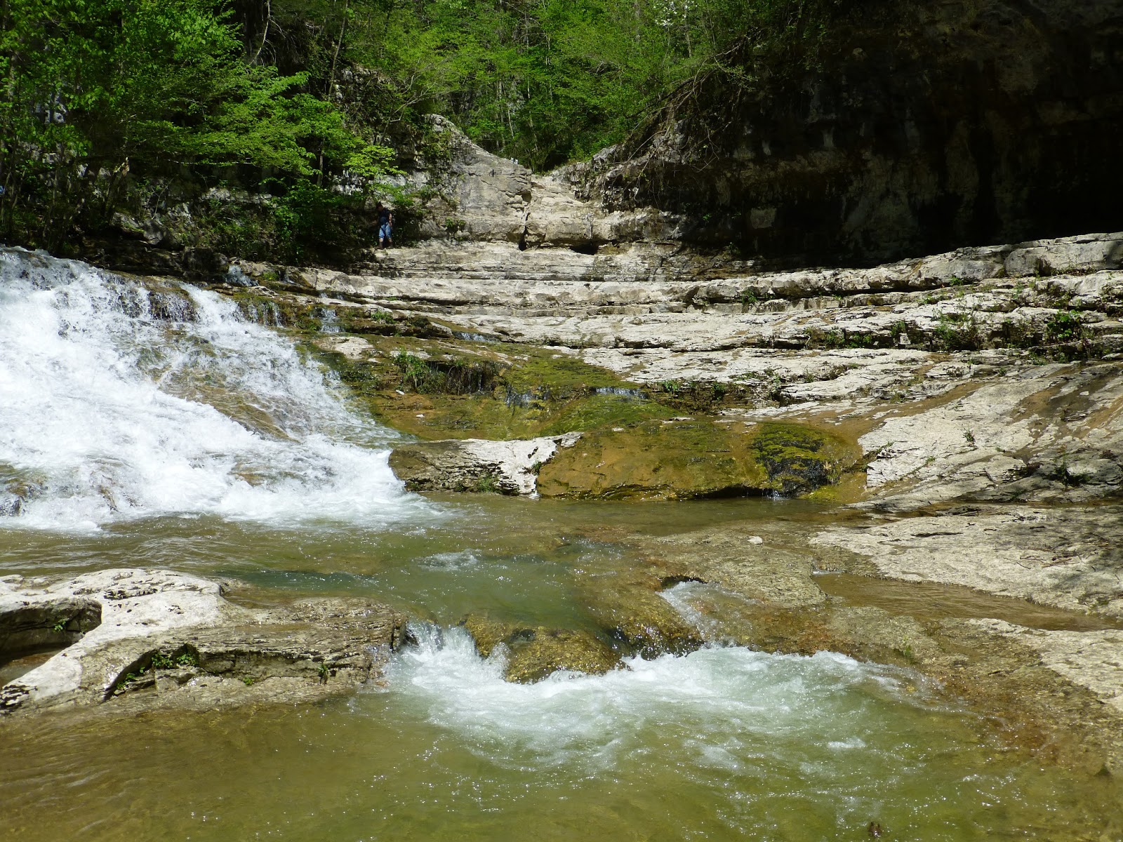
to Brushy Creek. This is upstream from
the dam/ kayak put in, and Brushy is pretty small at this point. When descending you pass some cool sandstone/conglomerate
rock out croppings (conglomerate like the stuff at Sandrock). They aren’t tall but appeared to be super
solid. I was just remarking that too bad
this is too far out to bring a bouldering pad when, boom, FS 254. I am always looking for things climbable in
the Bankhead, but the good stuff is usually very remote. I will definitely be coming back here with
pads and the scrub brush, as it may have the potential for 12 to 15 problems.
There looked to be the potential for more similar boulders
as the trail continued on the other side of the creek. Just after this crossing, which is on the
forest service road bridge, you come to the only really crappy part of the
trail. The trail climbs a short ridge
immediately after the creek, and the trail is muddy with huge ruts. We had to walk the bikes most of the
way. It reminded me of the Sipsey horse
trails.
The rest of the trail is pretty good. There are lots of moderate climbs and descents
through the whole thing. There is also a
shallow creek crossing further on, which you can manage without getting your
feet wet on some easy rock hopping. All
and all the trail was definitely worth the visit. It gave a little bit of everything the
Bankhead has to offer: rock shelters, shallow creek crossing, the upland pine
forests, and even an old stone chimney left over from a homestead.
There are a lot of climbs and descents, though most of them
are very moderate. None of the longer
climbs were super steep. It flows
surprisingly well for being primarily a horse trail. A little bit of technical stuff is thrown in
the mix for some of the rocky areas (though not as much as Oak Mountain). While still bikeable the sand takes up extra
energy, so save something for the end, because there is still a lot of
uphill. It comes in small stretches, but
the sand is plentiful.
This trail can be ridden in summer, as it is open airy
forest and very shaded. I felt
comfortable the whole time and I am not heat tolerant (it was about 87 out). Bring a map, which will be helpful in case of
injury or malfunction, because there are a couple of spots to escape to forest
service roads. I brought a full 100oz
Camelback and wished I had one additional water bottle. I also wish I had more breathable bike shorts
because it was sweaty out there.
Two snakes, two ticks, one black berry vine to the shins,
some single track with poison ivy on both sides, and less horse poop than
expected. Oh, and we never saw a horse on
the trail, despite the crowded parking area.
I would give it 4 out of 5 stars only due to sand traps and horse turds
and the smell of horse turds. Maybe 3.7
stars.
Immediately afterwards we drive 10 minutes North to Wren on
Hwy 33, to the Warrior Mountain Trading Post for Buffalo burgers. It was a great idea. $5 Buffalo burgers, and this place has a
wealth of knowledge on the Bankhead/ Sipsey/ Warrior Mountains. Pretty solid, considering it is gas
station. It’s also the Wild South
Alabama headquarters.

We also picked about 3lbs of chanterelles on the trail. This is a great outing for the intrepid biker
and forager. Don’t pass on the buffalo
burgers.

More caving photos on spelunkologists